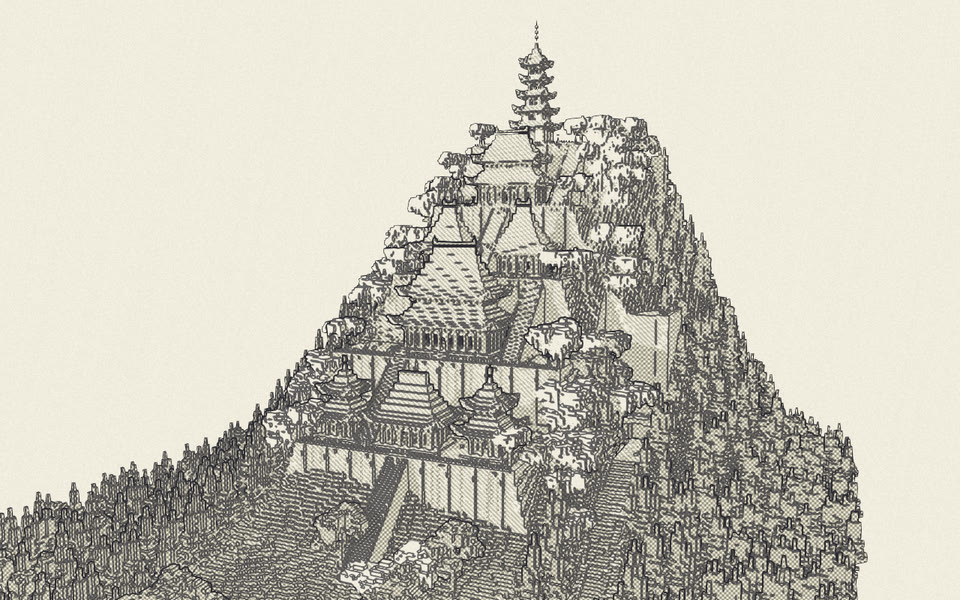
Terrain up to 5000×5000
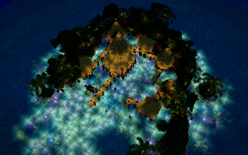
Mountains, rivers, coastlines and forests across maps up to 5000×5000. Real Minecraft biomes set the grass, water and foliage colours, the weather and the mobs.
Moxel Worlds is an AI map builder for Minecraft Java
Connect Claude to Moxel and describe what you want: a fishing town, a castle on a cliff, a whole continent. It builds it block by block with about 50 building tools while you watch in 3D, then you download it and open it in singleplayer.


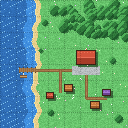
Some layouts are easier to sketch than to describe. Paint a rough plan in the app (lake on the left, forest along the top, town hall in the middle) and your AI gets the drawing, its coordinates and a grid it can follow.
Old forest
Town hall
Harbour
~~~~~~~~~~~::,,,,,,,,,,,,,,,,,,##########,,, ~~~~~~~~~~~::,,,,,,,,,,,,,,,,,,##########,,, ~~~~~~~~~~~:::,,,,,,,,,,,,,,,,,##########,,, ~~~~~~~~~~~~::,,,,,,,,,,,,,,,,,##########,,, ~~~~~~~~~~~:::,,,,,,,,,,,,,,,==============, ~~~========::,,,,,,,,,,,,,,,,==============, ~~~========================================, ~~~~~~~~~~::,,,,,,,,,,,=,,,,,==============,
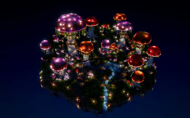
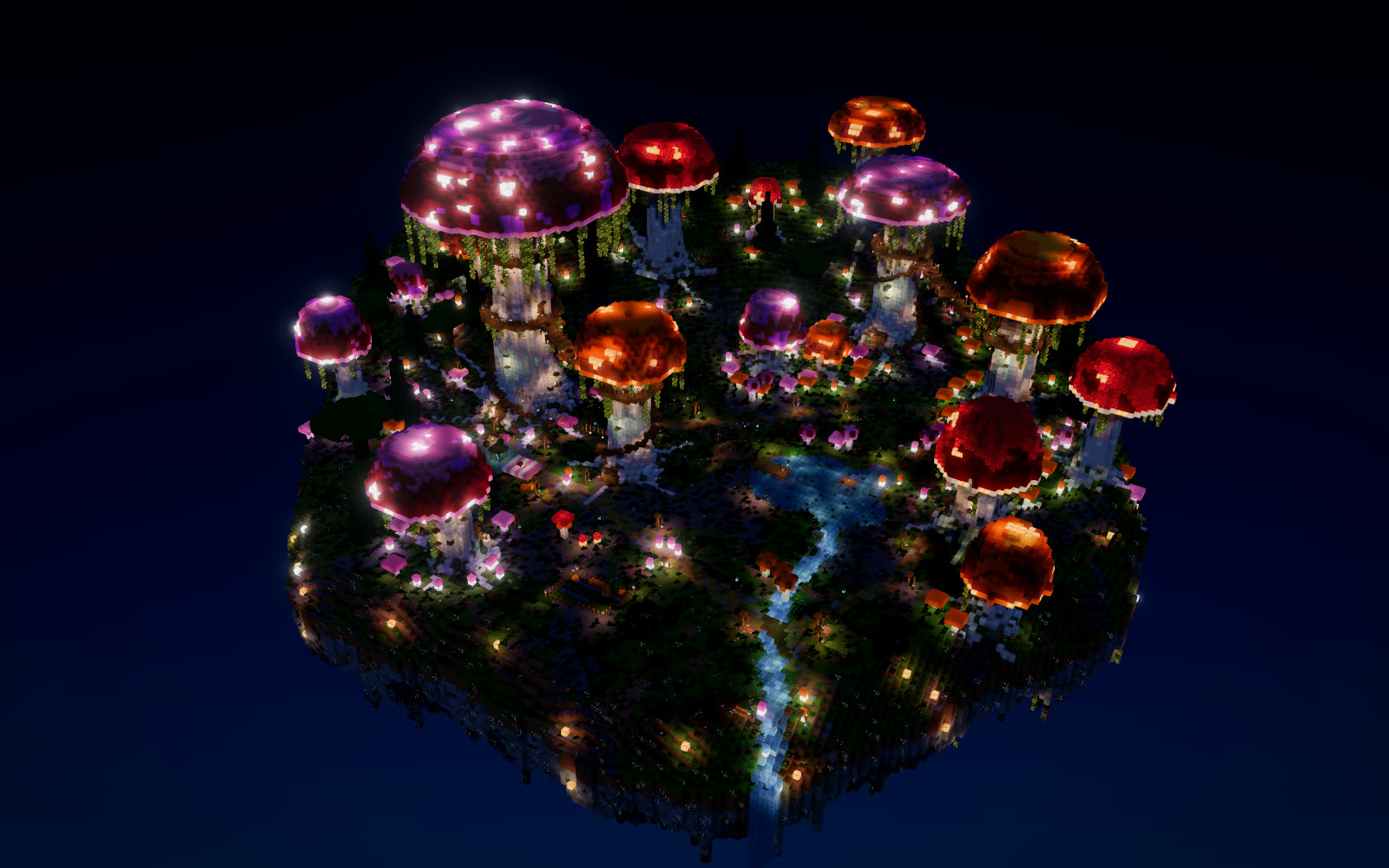
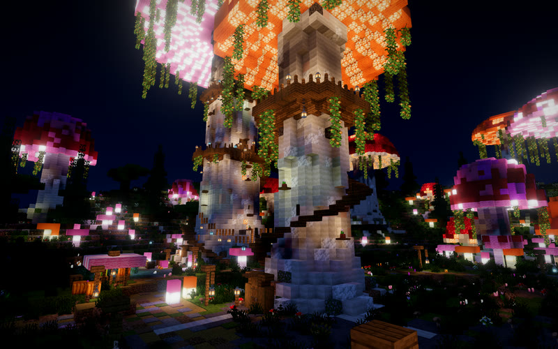
Shared by people using Moxel and ranked by likes since Monday. Download any of them, or copy one into your own maps and keep going.
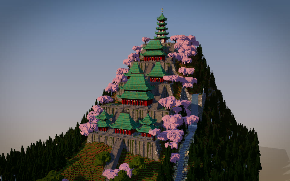
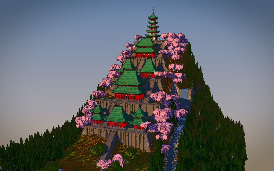
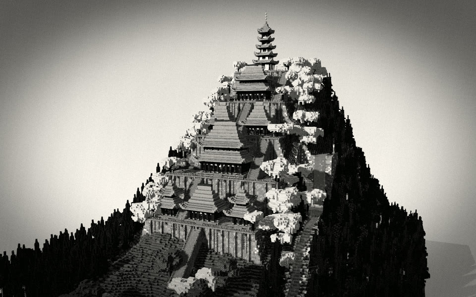
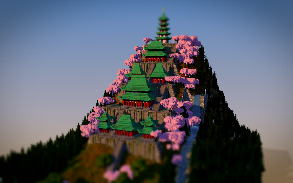
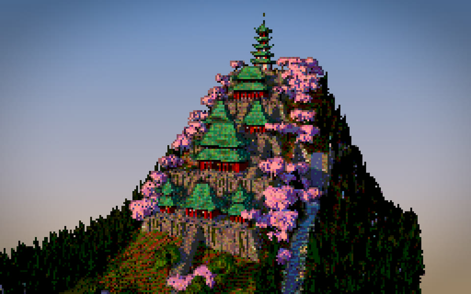
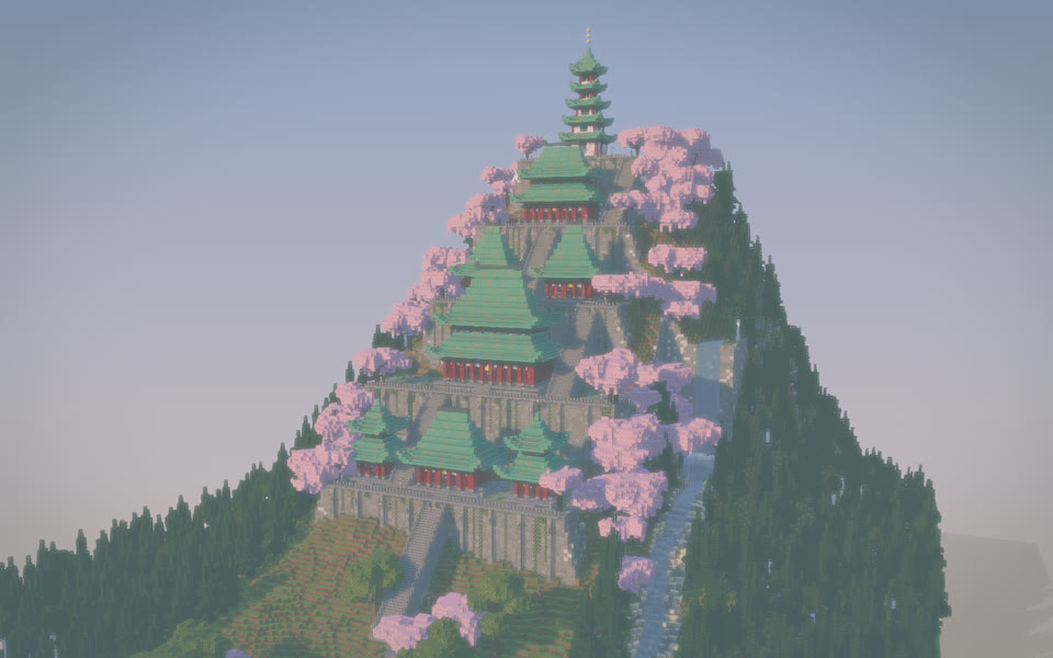
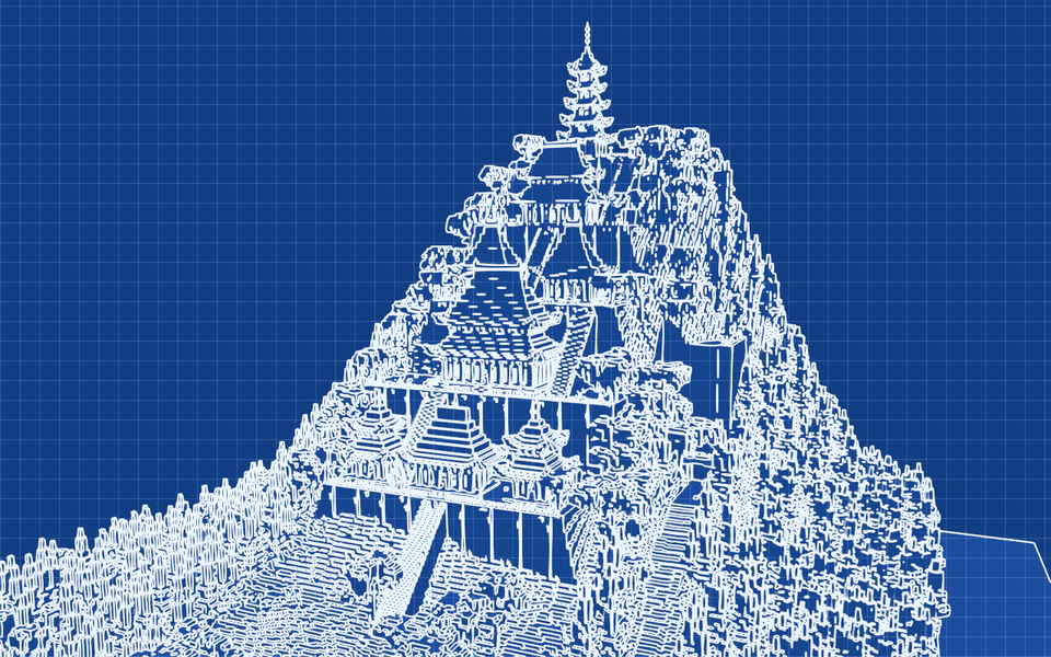
Same monastery, eight looks. Ask for one by name.


Moxel knows how stair corners join and which half of a door goes on top. The AI just decides where things go.
Mountains, rivers, coastlines and forests across maps up to 5000×5000. Real Minecraft biomes set the grass, water and foliage colours, the weather and the mobs.
Every block in the game, with every property. Fences and walls connect themselves, stairs turn corners, beds and doors get both halves.


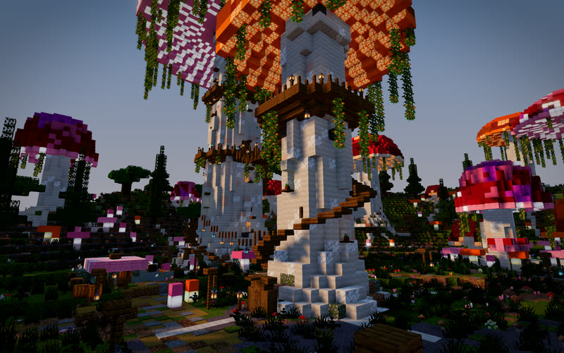
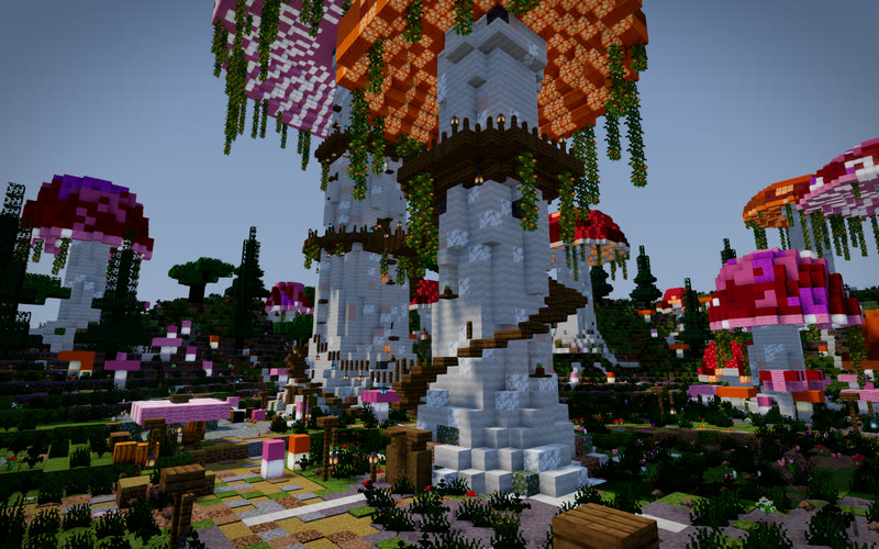
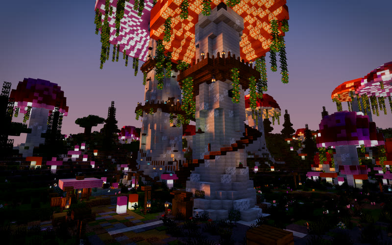
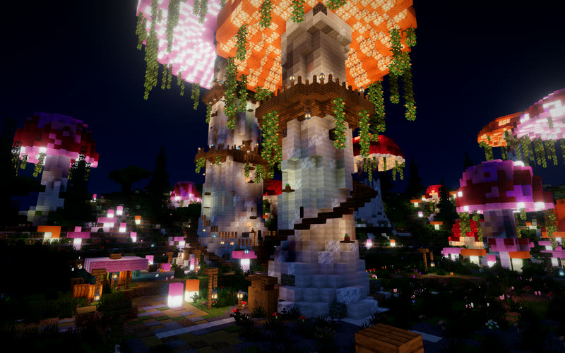
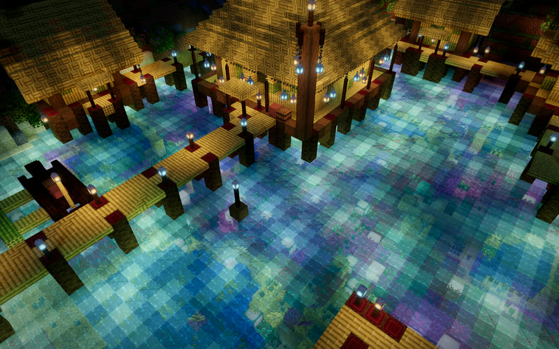
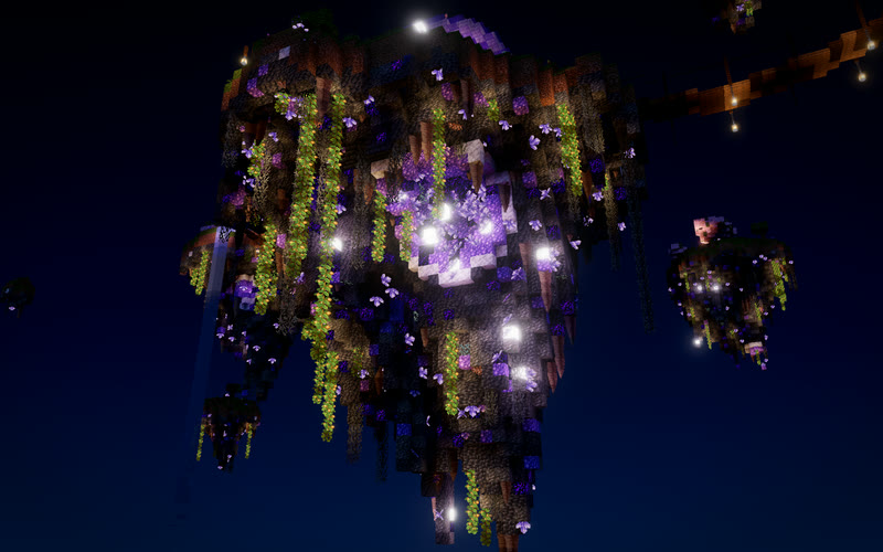
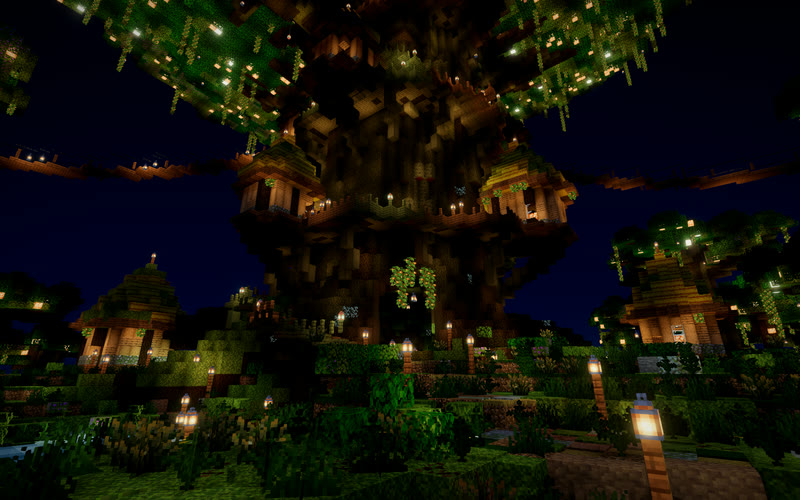
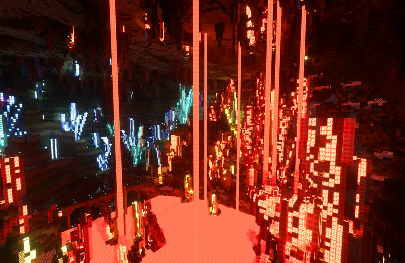
Soft shadows, glowing lanterns, fresnel water, waving leaves and filmic colour. Same build, same camera: pick the light.
A playable Java world for 26.2 (or 26.3), or a schematic for your server, with your named places as in-game teleports.
More in the docs.
No. Exported worlds are plain vanilla Java saves. Unzip into your saves folder and open it. Schematics work with WorldEdit, FAWE or Litematica if you already use them.
Java Edition 26.x. Worlds export for 26.2 by default, and you can pick 26.3. Blocks that only exist in 26.3 are swapped for the nearest 26.2 block on a 26.2 export, and the export tells you which.
Yes. Moxel Worlds is the toolbox and the viewport, not the model. It plugs into Claude Code, Claude Desktop or any other MCP client through a small download and an API key.
Yes. Maps belong to your account and only you can see them. We don't publish, share or sell them, and you can download or delete them whenever you like.
Make an account, paste one command into Claude, and ask for a lighthouse on a rock. The free plan covers it.